Traumschleife "Dream loop" Saar-Leuktal-Panorama
- start: 54441 Trassem, car park on the Leuk (exit Saarburger Straße at the end of Trassem in the direction of Freudenburg) or at the fire station, Brückenstr. 2
- destination: 54441 Trassem, car park on the Leuk (exit Saarburger Straße at the end of Trassem in the direction of Freudenburg) or at the fire station, Brückenstr. 2
- medium
- 11,00 km
- 3 hours 30 minutes
- 328 m
- 355 m
- 172 m
- 100 / 100
- 40 / 100
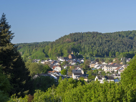
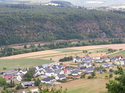
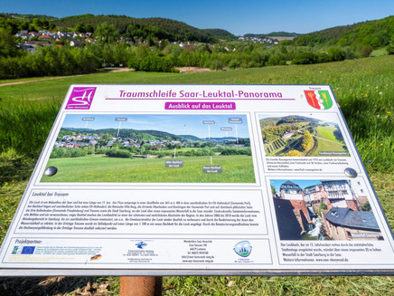
The Saar-Leuktal-Panorama dream loop surprises with varied views of the town of Saarburg, the Saar valley, the Saargau or to Kahren with the Hosteturm.
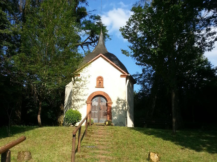
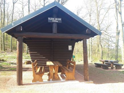
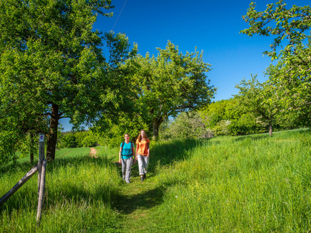
The starting point of the Saar-Leuktal-Panorama dream loop is located at the entrance to the village of Trassem on the renaturalised Leukbach stream. The trail leads through an idyllic meadow area via the district of Perdenbach, with a short detour to the Josefskapelle chapel, past a former mill in the direction of the Kreuzkapelle chapel. The dream loop ascends via a ridge path to the Kruterberg. From Kruterberg, the hike first leads along a hollow path and later along the European long-distance hiking trail E3 to the next vantage point with far-reaching views of the Hunsrück and magnificent valley views of the Saar and the villages of Krutweiler and Serrig, the first wine-growing village downstream of the Saar. Continuing along the E3, past the Klein Heide refuge (290 m) and along varied mixed forest and meadow paths as well as orchards, the trail leads along the old Roman road to Preußische Kupp. The route leads down into the valley with far-reaching views back to the starting point in the Leuktal valley.
Impressions
General information
Directions
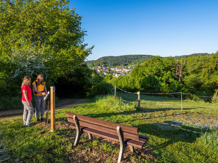
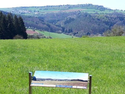
The starting point of this varied circular hiking trail is at the entrance to the village of Trassem by the renaturalised Leukbach stream. The trail leads through an idyllic meadow area with impressive views between the old and new branches of the Leuk via the district of Perdenbach, with a short detour to the Josefskapelle chapel, past a former mill in the direction of the Kreuzkapelle chapel (built in 1704). On the grounds of the Kreuzkapelle you will find an aboretum with a diverse and rare mixture of old and new trees. The dream loop leads uphill with a distant view of the Kahrener Hosteturm tower via a ridge path to the Kruterberg (285 m) with a fantastic view over the town of Saarburg and the neighbouring villages of Kahren and Irsch/Saar. From the Kruterberg, the hike leads first along a hollow path and later along the European long-distance hiking trail E3 (from the Black Sea to the Atlantic coast) to the next vantage point with a distant view of the Hunsrück and a marvellous view of the Saar valley and the villages of Krutweiler and Serrig, the first wine-growing village downstream of the Saar. Continuing along the E3, past the Klein Heide refuge (290 m) and along varied mixed forest and meadow paths as well as meadow orchards, the trail leads along the old Roman road (from Perl to Trier) to the Preußische Kupp, the highest point of the hike. From here you can enjoy impressive views of the Saargau, the Saar valley and the Hunsrück.
The route leads down into the valley with far-reaching views back to the starting point in the Leuktal, past two 300-year-old oak trees (natural monument) and a beautiful panoramic view of Trassem and the town of Saarburg with Warsberg and vineyards.
Equipment
Sturdy shoes are recommended.
Tip
An additional starting point is located at the fire station, Brückenstraße 2 in Trassem. There you will also find an information board with detailed information about the route. You can also park free of charge at the city car park in Saarburg to reach the dream loop via the signposted access route (length: 1.5 km).
Getting there
The B 407 leads from Saarburg to Trassem. Start and finish is the car park at the Leuk (at the end of the village towards Freudenburg).
Parking
Free parking is available at the start and finish at the Leuk car park in Trassem. Further parking is available at the Hotel Haus Jochem (opposite the fire station) and at the St. Erasmus day care centre, Kirchstr. 58.You can also park free of charge at the city car park in Saarburg to reach the dream loop via the access path (length: 1.5 km).
Public transit
You can reach the town of Saarburg by train on the Saarbrücken-Trier railway line to the Saarburg stop (Bz Trier).From there, take bus 241 (several journeys a day) to the bus stop Trassem, Schulstraße.
Information on current public transport timetables can be found at www.bahn.de or www.vrt-info.de/busnetz.
Literature
The free flyer ‘Traumschleife Saar-Leuktal-Panorama’ is available from the tourist information centres in Konz and Saarburg.
Additional Information
Saar-Obermosel-Touristik, Tourist-Information Saarburg, Graf-Siegfried-Str. 32, 54439 Saarburg, Tel. 06581-995980
Saar-Obermosel-Touristik, Tourist-Information Konz, Saarstr. 1, 54329 Konz, Tel. 06501-6018040
E-mail: info@saar-obermosel.de
Visit our website for exclusive tips and information about the Saar-Obermosel holiday region:
https://www.saar-obermosel.de/
https://www.facebook.com/saarobermosel
Weather

This tour is presented by: Saar-Obermosel-Touristik e.V , Author: Saar-Obermosel-Touristik e.V.
