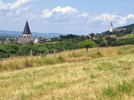
Rund um Klausen - Hiking in the Moselle-Eifel
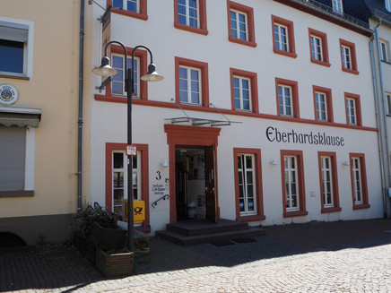
- start: Pilgerherberge "Eberhardsklause", Eberhardstr. 3, 54524 Klausen
- destination: Pilgerherberge "Eberhardsklause", Eberhardstr. 3, 54524 Klausen
- medium
- 8,10 km
- 1 hour 50 minutes
- 155 m
- 277 m
- 175 m
- 60 / 100
- 40 / 100
A hike around the pilgrimage and feel-good place Klausen in the heart of the Moselle-Eifel.
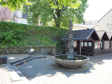
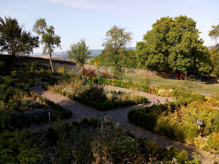
This hike leads through the landscape around the pilgrimage site of Klausen with its two districts of Krames and Pohlbach. These offer many "little escapes" for a quiet stop. The pilgrimage church "Maria Heimsuchung" is certainly one of them; it is visited by over 100,000 pilgrims every year and is considered a place of power with a history of over 500 years. Also worth seeing are the parish garden with its old tree population and the terraced abbey garden, where numerous herbs are planted on one level. The garden dates from the Wilhelminian period of the former monastery in the 15th century. Not to be forgotten are the artistic village fountains, which can be found in all three parts of the village. But the hiking trail "Around Klausen" offers more!
Insights into the hiking tour:
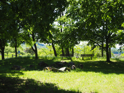
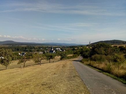
There are great views and along recultivated gravel pits rare animals, especially birds, have found a new home. On hot summer days the many fountains along the way provide some refreshment.
Impressions
General information
Directions
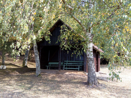
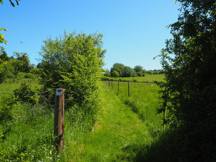
The centrally located village shop with the pilgrims' hostel "Eberhardsklause" is a good starting point for the hike (there are also parking facilities in Eberhardstraße below the abbey garden). Now you should decide whether you want to visit the parish and pilgrimage church "Maria Heimsuchung" or the Abtsgarten right at the beginning or only at the end of the tour. It is worth it in any case!The path itself leads you from the parking lot below the abbey garden first on small paths through a meadow area, then over an asphalt road to the district of Krames. Passing the village well and pretty farmhouses, the path continues along the Kramesbach and green meadows. After crossing the stream, turn left. Soon you will pass a construction trailer with a forest playground, which the forestry office has prepared for children and young people. You follow a narrow forest path, then a tarred road, which leads to the right towards the village of Esch. Then you cross a crossroads and turn right again at the next opportunity. The path continues under a road underpass, always along the edge of the forest of the recultivated gravel pits. You reach the district of Pohlbach via a service road, the "Mühlenweg" and the "Poststraße". At the Mühlenbach (Grönbach) turn right into the footpath leading to the Polbach Margarethen Church and the Pohlbach Children's Fountain, then carefully cross the road in the spa area. "Zum Mühlbach" and "Zum Rosenthälchen" are the names of the local roads which you follow and which lead out of the village. First you continue on asphalt farm tracks, then you dive into the forest. The forest path rises slightly. Behind an almost silted up fire pond, you turn right at a crossroads and meet open terrain again at a shelter. Follow the bend in the farm track and then turn left after just under 200 metres. Forest and meadow areas now alternate along the path. After a sharp right-hand bend, you walk towards the district of Pohlbach again and cross the Grönbach once more. An asphalt path, the "Wiesenweg", leads you behind the buildings on the left and to the "Wittlicher Straße" (the main road through the village). There you cross the bridge which leads over the L 47. Continue straight on for about 500 metres and you will reach the starting point of the hike again.
Safety Guidelines
No special safety instructions.
Equipment
Firm footwear is recommended
Tip
In the village shop of the pilgrims' hostel Eberhardsklause you can stock up on provisions for the tour.
Getting there
Coming from Bernkastel, follow the B53 in the direction of Trier. In Mühlheim, cross the bridge and change to the other side of the Moselle. Then follow the L47 uphill to Klausen.
Parking
Parking facilities in the Eberhardtstraße in Klausen
Public transit
Bernkastel-Kues: Taxi Edringer: (0049) 6531 - 8149, Taxi Priwitzer: (0049) 6531 - 96970, Taxi Reitz: (0049) 6531 - 6455
Literature
WanderGuide - the hiking guide in the Bernkastel-Kues holiday region. With description and map (only in German).
Maps
WanderGuide - the hiking guide in the Bernkastel-Kues holiday region. With description and map (only in German).
Additional Information
Ferienland Bernkastel-Kues
Gestade 6
54470 Bernkastel-Kues
Phone: (0049) 6531/50019-0
en.bernkastel.de
Tourist information Klausen
Unser Dorfladen w.V.
Eberhardtstr. 3
54524 Klausen
Phone: (0049) 6578/985859
Pavings
- Asphalt Coating (21%)
- Crushed Rock (20%)
- Path (5%)
- Hiking Trail (45%)
- Unknown (1%)
- Street (8%)
Weather

This tour is presented by: Ferienland Bernkastel-Kues, Author: Lisa Willems
