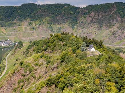
Neef Petersberg lighthouse hike
- start: Brunnenplatz, D-56858 Neef
- destination: Brunnenplatz, D-56858 Neef
- medium
- 8,19 km
- 2 hours 40 minutes
- 231 m
- 254 m
- 92 m
- 60 / 100
- 40 / 100
Historic architectural elements and a unique wine cultural landscape.
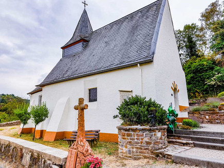
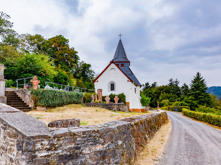
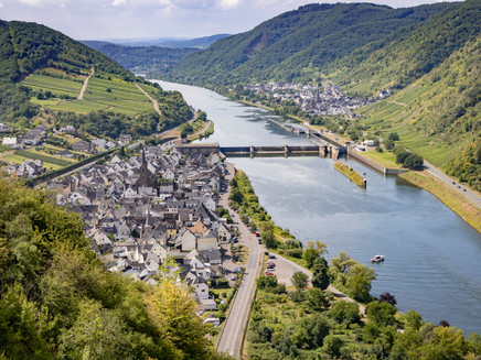
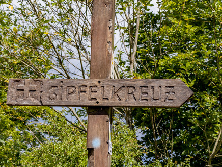
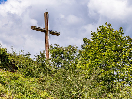
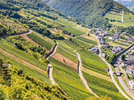
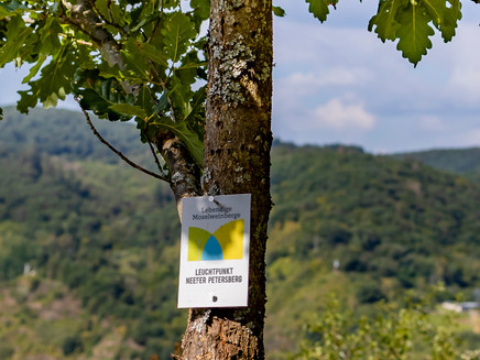
The narrow Moselle loop with the Neef Petersberg on top is one of the most scenic and impressive on the Moselle. Numerous architectural monuments, such as the Petersberg Chapel with its high-altitude cemetery, the Eulenköpfchen, the Burgberg, the Höhenkreuz, the Neefer Castle and the Stuben Monastery bear witness to a long, eventful past. The historic vineyard site of the Neefer Frauenberg, with its old vines and dry stone walls, vineyard terraces and rocks, has a great diversity of flora and fauna. The climb through the vineyards is rewarded at the Höhenkreuz with a fantastic panoramic view of the entire Moselle loop. This multitude of historic architectural elements and the unique wine cultural landscape is so impressive that they were declared a beacon in 2019 by the "Living Moselle Vineyards" initiative.
Impressions
General information
Directions
Start Brunnenplatz on the banks of the Moselle via Fährstraße, the square at the "Boar" and the railway bridge to the "Rosenberg" and "Frauenberg" vineyards. Continue via the Höhenkreuz to the Petersberg Chapel and on to the former Roman mountain fortification Eulenköpfchen. Hintunter to the former Franconian settlement of Rumpenheim on the Burgberg and through the forest via the car park on the Petersberg to the panoramic viewing bench, continue through the Neef Frauenberg and via the steps back through the village of Neef to the starting point at Brunnenplatz.
Equipment
We recommend sturdy shoes
Tip
Viewpoint Eulenköpfchen with a magnificent view of the Moselle and the Calmont opposite, the steepest vineyard in Europe.
Getting there
From Cochem via the B49
From Bernkastel-Kues via the B53
Parking
Parking along the Moselstraße
Public transit
by train to Bullay and then by bus 729 to Neef
Maps
Hiking map Zellerland
ISBN 978-3-944620-12-1
Available from Zeller Land Tourismus GmbH, Balduinstr. 44, D-56856 Zell (Mosel), Tel. +49 6542 9622-0, info@zellerland.de, www.zellerland.de
Additional Information
Pavings
- Street (1%)
- Asphalt Coating (7%)
- Path (3%)
- Crushed Rock (11%)
- Hiking Trail (78%)
Weather
This tour is presented by: Zeller Land Tourismus GmbH
