Moselsteig Trail Stage 15: Zell (Moselle) – Neef
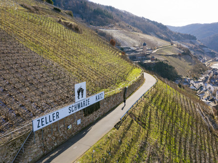
- start: Zell (Moselle): Moselle riverbank by the 'Black Cat' fountain
- destination: Neef: Railway station
- difficult
- 19,88 km
- 6 hours
- 648 m
- 300 m
- 95 m
- 80 / 100
- 80 / 100
Looking forwards – and backwards.
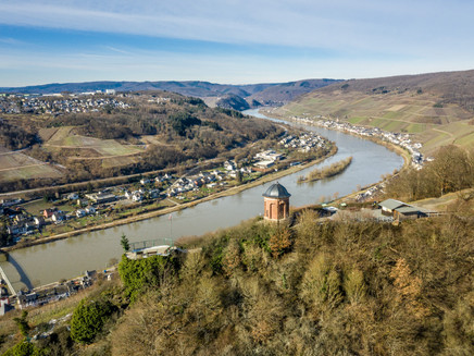
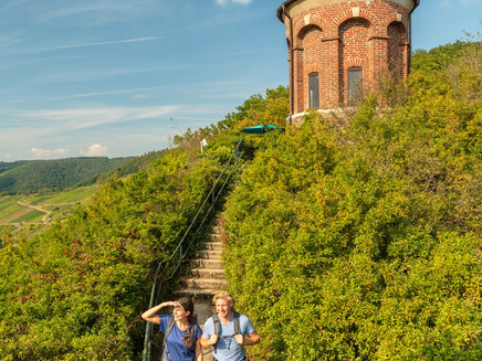
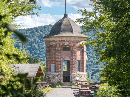
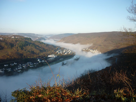
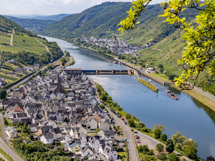
Tranquillity, as only a forest can offer, is your constant companion on this section of the trail. Along almost 20 kilometres, the forest again and again offers the opportunity to relax and enjoy peace and stillness. And yet this section also offers some thrilling places of interest: after the steep climb up to the Collis Tower, with its breathtaking panoramic views over Zell, the trail continues through expansive woodland and vineyards. Be sure to look back at the views as well – back to the sections of the Moselsteig Trail you have just completed, such as the Marienburg, the Prinzenkopf and Arras Castle. The finishing point of this section in Neef has a culinary surprise in store for you: red vineyard peaches, which can be enjoyed in a number of different ways – as a fruit, a delicious jam or delicate liqueur. Even the Romans grew these peaches, which thrive wonderfully well here thanks to the warm climate.
Impressions
General information
Directions
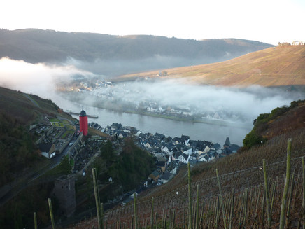
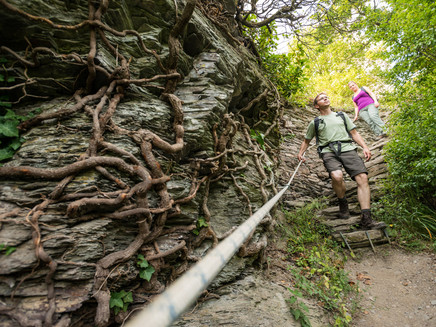
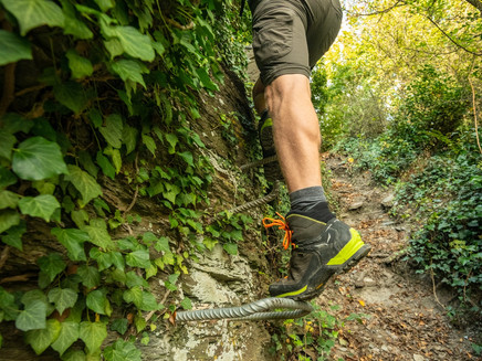
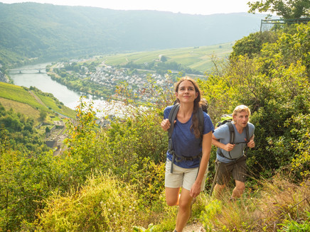
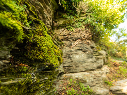
This rather demanding leg starts at the Zeller Schwarze Katz-Brunnen (Black Cat Fountain), in the heart of the Zell old town. At the tourism information, the path immediately gets quite steep. A small waterfall rushes between the houses and offers a lovely view. After the last houses, it gets exciting: This is where the Collis steep path begins. Narrow, steep slate trails alternate with narrow vineyard steps. Suitable shoes and good sure-footedness are crucial here! The path quickly gains in height, and the view of Zell with its striking Round Tower (Runder Turm) above the city is truly rewarding. By the way, do you prefer something a little more adventurous and do you enjoy climbing? If yes, you can change to an even more challenging trail alternative: Step bars and a ladder are waiting for you. Both variants meet at the Collis Tower. The view will quickly let you forget the strenuous ascent. And if the small hut is open, then a break can take a little longer.
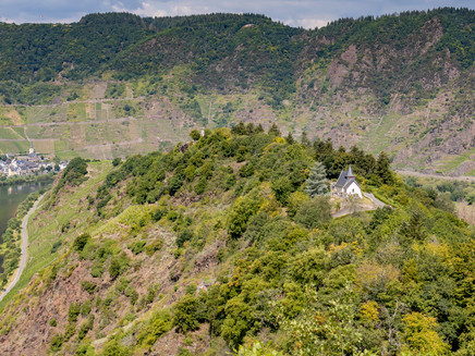
The top offers varied landscapes, continue through woodlands, pass vineyards and admire the view of the Moselle Valley over and over again. The Lonshöhe with mountain hut and resting areas mark the end of this section. The trail now runs in serpentines downhill through the forest and, at the edge of the forest, offers you clear views of the Moselle Valley and the large St. Michael church. Continue hiking next to the road in the side valley, where an access path branches off to the centre of Merl. From here, the Moselsteig Trail leads steeply uphill to a small, almost hidden chapel.
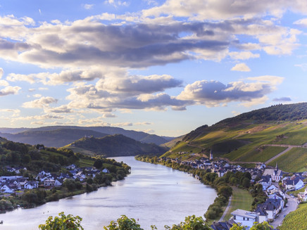
The following vineyard paths take you out of the side valley back to the Moselle. You now climb higher and higher through the vineyards and the view of the Marienburg on the opposite ridge gets even better. There is a spectacularly located resting area at slope edge, thereafter you will reach the Merler Könighütte in a small wooded area. The view from here and from the even higher located bench is breathtaking! The view even reaches far beyond the Marienburg saddle and the Moselle appears as a “two lake landscape”.
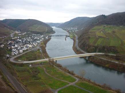
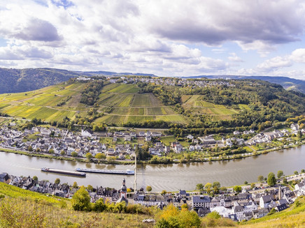
Surrounded by forest and vineyards the descent to a junction is easy. This is also where the access route to Bullay branches off. At the resting area at the edge of the forest the Moselsteig Trail ascends again, with a clear view of Bullay and the rare double bridge. In the forest you change onto a path which arrives at the Bullayer Königshütte after a short climb. Although you are surrounded by forest, the view is beautiful. Enjoy the view of Bullay, the Moselle Valley, the Prinzenkopf and further back of the Alf Valley (Alftal) with its many forests and the Burg Arras (Castle Arras).
Now, you hike on a longer section through the forest. You now follow a small stream to the valley, and then start the ascent on a larger forest path. Almost at the top, the access route to Bullay branches off - this is also where the “Uncle Tom Hut” is located (see author’s tip). Soon, you have finally mastered the ascent and reach the edge of the forest. You now pass a landscape full of Christmas trees and an orchard, before continuing through the forest. The path remains level up to the Blitzeiche. Thereafter, the Moselsteig Trail slowly descends along old, in parts, bizarrely shaped beech trees. In between, the forest reveals a view of St. Aldegund on the other side of the Moselle. If you like, this is where you can take a shortcut to Neef following an access route at the edge of the vineyard.
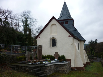
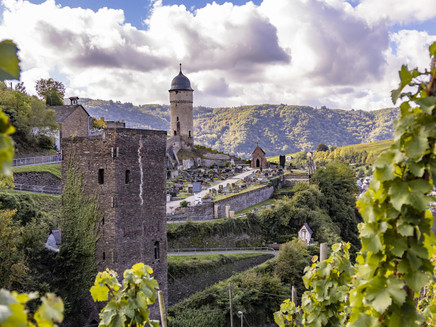
Moselsteig Trail hikers now continue to the Neefer Bachtal. The ascent through vineyards and then forest, is steep. From the side valley, the trail again gets closer to the Moselle and slope edge. You continue to hike above fallow vineyards, which over and again reveal a view of Neef, the destination of this leg. The Neef summit is not yet the last highlight of this leg, even if the 360° view is overwhelming. You should also not miss out on a detour to the Petersberg mountain, a little further down, with its ancient chapel and cemetery. The view here is also fantastic! You now descend on vineyard paths and two steep sets of steps to Neef, the destination of this leg. Continue a little further, and you have arrived at the railway station of Neef and are therefore at the destination of this leg.
Equipment
- Sturdy hiking footwear
- Appropriate weatherproof hiking gear,
- Picnic lunch
Tip
"Uncle Tom's Hut", which lies only a few hundred metres from the Moselsteig Trail, is definitely worth a visit. Sit on its terrace and soak up the marvellous and unique views into the Moselle Valley. A perfect stop-off to refuel on this extremely long stage (please check opening hours).
Getting there
Starting point: Zell (Moselle) via the B 53
Destination: Neef via the B 49, between St. Aldegund and Bremm over the Moselle Bridge
Parking
Zell (Moselle): There are pay parking spaces along the Moselle promenade. There is free parking a little way downstream on a large open square directly on the Moselle riverbank.
Neef: There is no parking at the station; but there are plenty of parking spaces along the riverbank.
Public transit
You can reach the stage towns Zell (stop Lindenplatz) and Neef (stop train station). Bus connection between Zell and Bullay with the bus line 721. Between Bullay train station and Neef train connection with the RB 81.
There are regular connections. Please note that during the school vacations of Rhineland-Palatinate / Saarland, on weekends as well as on public vacations there may be restrictions in the frequency! Please check the daily timetable on the website of the Verkehrsverbund Region Trier (VRT): www.vrt-info.de
Literature
"Moselsteig" - Offzieller Moselsteig-Wanderführer von ideemedia, 14,95 €
Authors: Ulrike Poller, Wolfgang Todt, publisher: ideemedia, 300 pages with around 300 images, altitude profiles, QR codes and GPS Tracks (in German), Format 11,5 x 23 cm, ISBN: 978-3-942779-21-0, 14,95 €
"Official Moselsteig Trail hiking maps" in pocket format:
The entire route is divided into 3 maps:
Leisure Map Moselsteig - Map 1: Perl - Trier (Stages 1 - 4), ISBN: 978-3-89637-419-6
Leisure Map Moselsteig - Map 2: Trier – Zell (Moselle) (Stages 5 -14), ISBN: 978-3-89637-420-2 Leisure Map Moselsteig - Map 3: Zell (Moselle) – Koblenz (Stages 15 -24) ISBN: 978-3-89637-421-9
Individual maps: €5.90
Set of 3 maps: € 14.50 (ISBN: 978-3-89637422-6)
"Premium-Set"
Premium set consisting of the official hiking guide including set of 3 hiking maps. Publisher: ideemedia, ISBN: 978-3-942779-24-1, 26,95 €
The hiking guides and the maps are available in bookstores or on the website https://www.visitmosel.de/wandern/service-infos-tipps under the heading “Ordering brochures”.
Maps
Leisure Map Moselsteig Trail – Map 3: Zell (Moselle) - Koblenz (Stages 15 - 24), ISBN: 978-3-89637-421-9
Additional Information
Mosellandtouristik GmbH
Kordelweg 1, 54470 Bernkastel-Kues; Phone: +49 (0)6531 / 97330
Zeller Land Tourismus GmbH, Tourist information office
Balduinstraße 44, 56856 Zell (Mosel); Phone: +49 (0)6542 / 96220
Pavings
- Unknown (94%)
- Path (1%)
- Hiking Trail (5%)
Weather

This tour is presented by: Mosel. Faszination Urlaub, Author: Mosellandtouristik GmbH
